Log in
All resources
Create a design
1,668 Free Images of East River
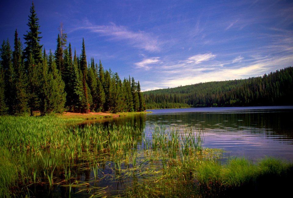
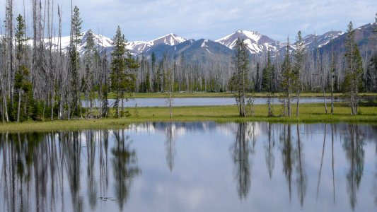
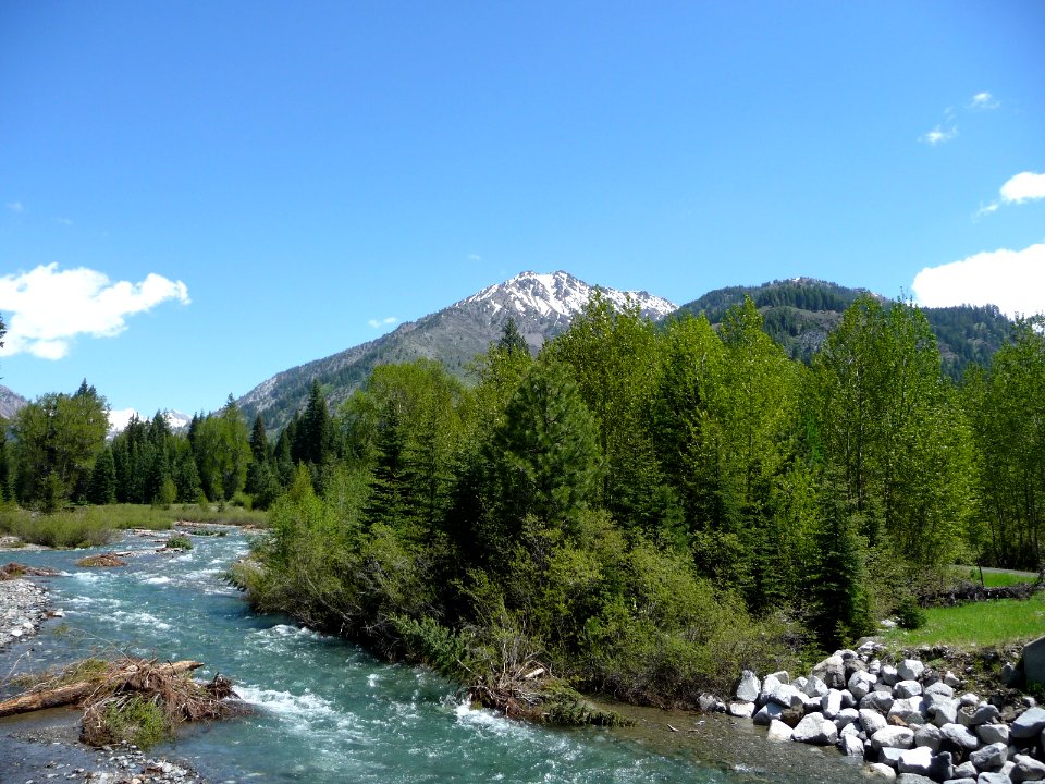
landscape
water
national forest
forest
nature
tree
united states
us forest service
historical
outdoors
historical
history
history
travel
historical
history
historical
history
historical
history
1696 maps of the caribbean
1690s maps of mexico
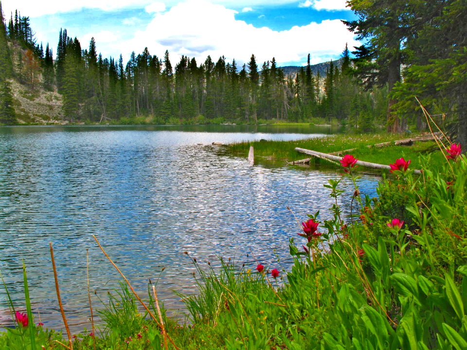
landscape
tree
landscape
tree
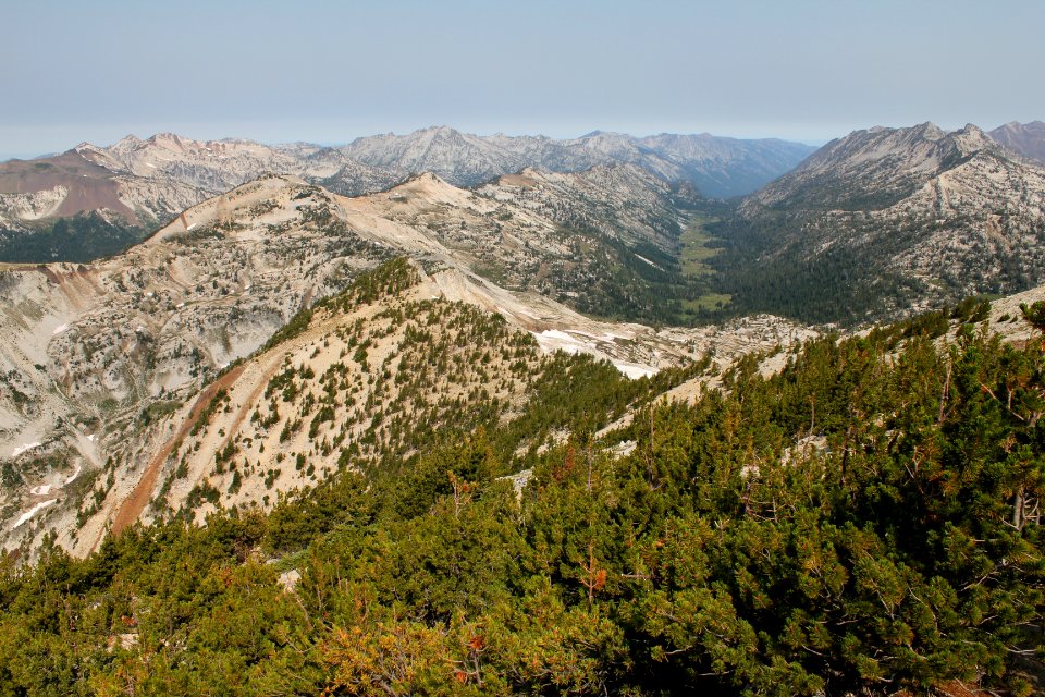
landscape
forest
landscape
nature
landscape
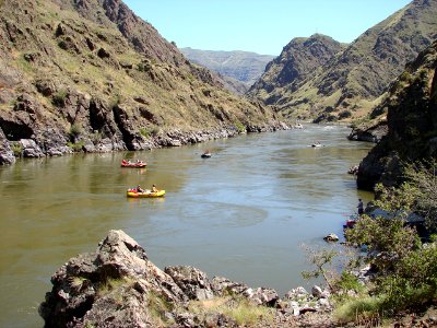
water
landscape
tree
landscape
boat
british library asia, pacific and africa collections
orientalism
maps by girolamo ruscelli
maps by girolamo porro
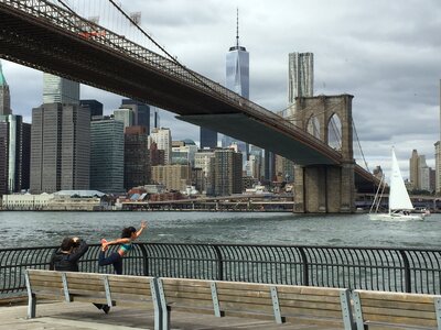
building
skyline
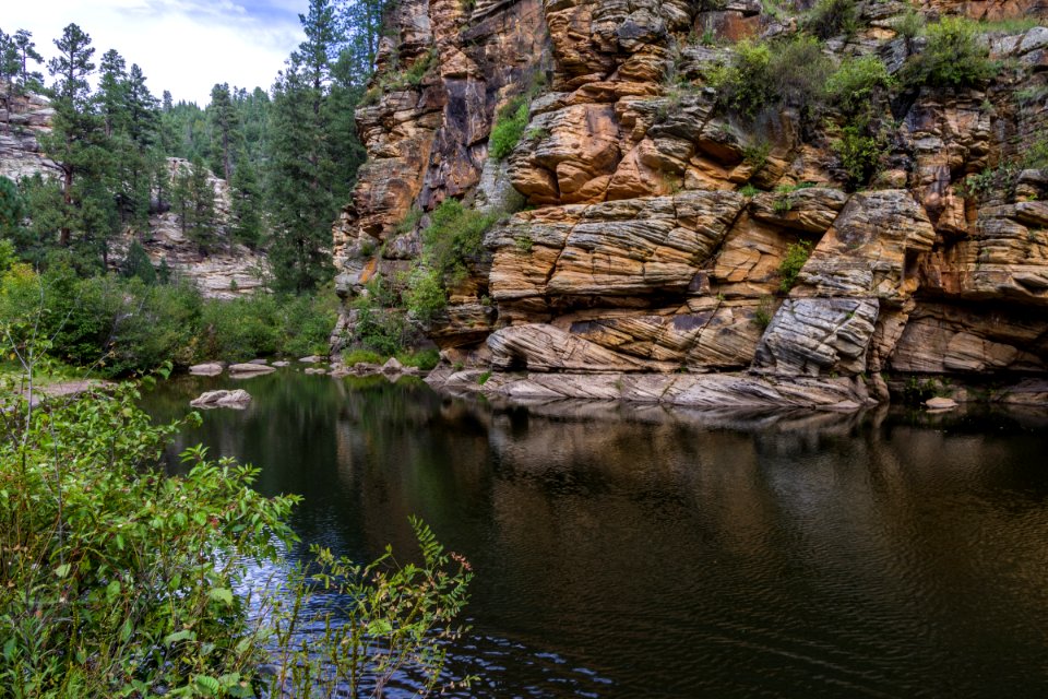
landscape
water
landscape
tree
landscape
tree
landscape
tree
landscape
skyline
water
tree
landscape
forest
historical
history
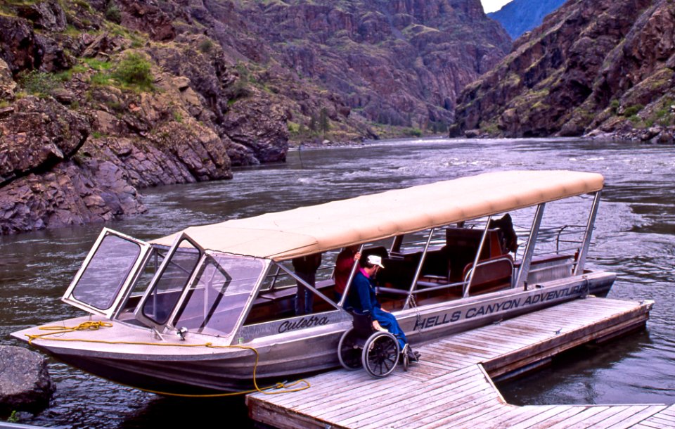
landscape
tree
vehicle
water
photographs by gustave le gray in the metropolitan museum of art
photographs in the metropolitan museum of art
photographs by gustave le gray in the metropolitan museum of art
photographs in the metropolitan museum of art
history collection in the rijksmuseum amsterdam
johannes rach
cancel
ohio
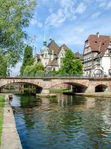
landscape
building
landscape
tree
maps by emanuel bowen
1744 fleurons
18th-century maps of antarctica
1741 maps
landscape
tree
landscape
tree
navigantium atque itinerantium bibliotheca
1744 fleurons
landscape
tree
1760s maps of the americas
1760 maps
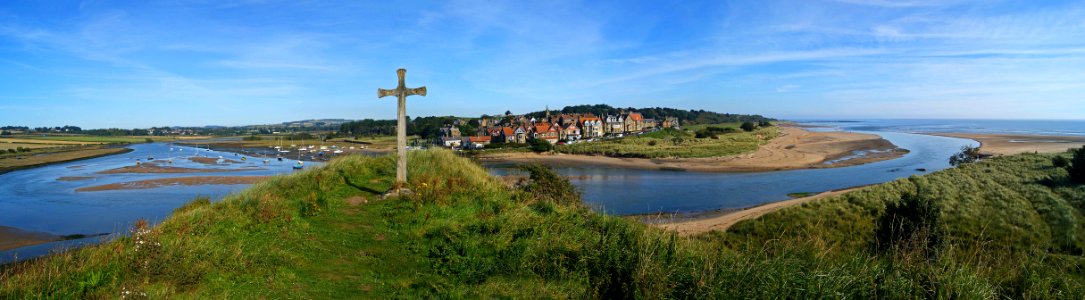
water
boat
building
skyline
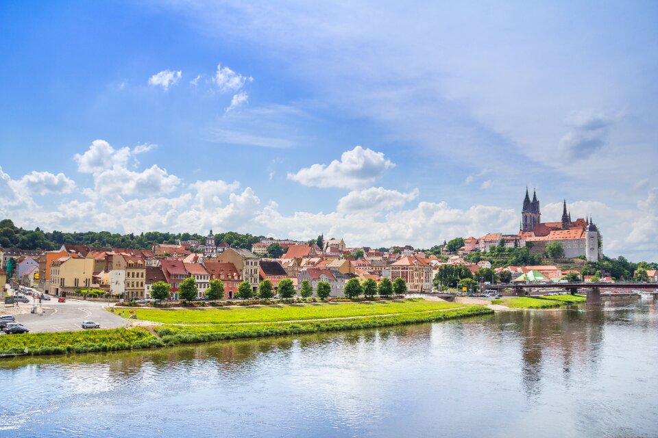
water
river
landscape
tree
water
tree
landscape
water
lithographs in the rijksmuseum amsterdam
published by frans buffa & zonen
historical
history
views from piazzale michelangelo
photographs by edmund f. arras
german renaissance
1744 fleurons
paintings from japan on silk in the cleveland museum of art
paintings by teisai hokuba
landscape
travel
navigantium atque itinerantium bibliotheca
1744 fleurons
english-language maps
maps by john cary
uss jeannette (ship, 1878)
james gale tyler
landscape
travel
carte de l'afrique françoise par guillaume delisle (1726)
philippe buache
british library asia, pacific and africa collections
orientalism
fisher's drawing room scrap book/thubare
fisher's drawing room scrap book plates
aus hannovers vorzeit. ein beitrag zur deutschen cultur-geschichte ... mit 23 photolithographischen abbildungen, etc., von august jugler
old maps of hannover
album of landscapes and calligraphy by hongren
xin'an school
landscape
travel
18th-century maps of the malay archipelago
18th-century maps of southeast asia
carte de barbarie, nigritie, guinée par guillaume delisle (1707)
university of washington
maps by joachim bormeester
1680s maps of the world
maps by joachim bormeester
1685 maps
mappe-monde geo-hydrographique (sanson and jaillot, 1674)
frank leslie's illustrated newspaper, 1864
19th-century unidentified engravers
1779 maps of the united states
1770s maps of the caribbean
1601 - 1668 of 1,668
/ 17